


1
2
3
4
Site Progression
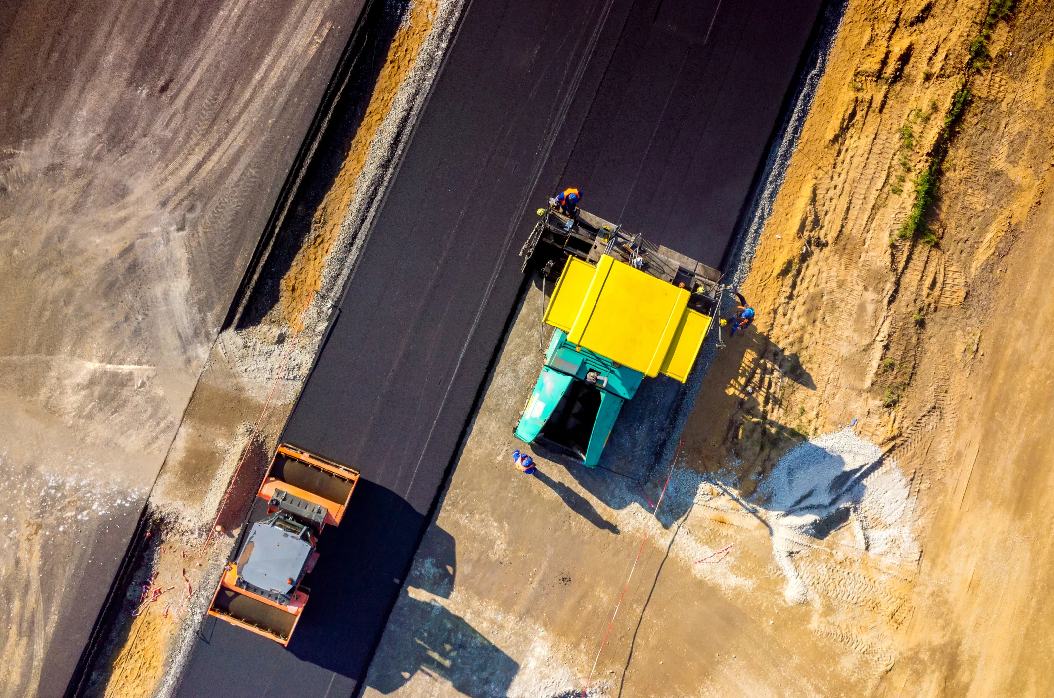
Watch your project transform before your eyes. Using VizionAir to undertake progress shots across a construction site allows you to keep tabs on progress, hold accountability, audit supplies/equipment, and keep any 3rd party up to date with progress. We ensure all work in the vicinity of the building exterior at regular intervals to provide a permanent, inspection grade photographic record of construction progress. Progressions are performed weekly, bi-weekly, or monthly generally coordinated with pace of progress.
Precision Land Survey
VizionAir delivers aerial mapping and land surveys providing topographic data as well as high-resolution aerial photography. We provide complete visual information and topographic data required to improve decision-making while reducing costs, saving time and improving safety. Large areas can be surveyed up to 50 times faster than traditional methods.
3D DRONE MODELS
With the advent of rapid data acquisition via photogrammetry and cloud point technologies, it is now possible to quickly use the data as a guide to build true interactive 3D environments. This is particularly helpful where old structures need remedial work or are being upgraded and there is no design drawings available.
PRECISION INSPECTION
VizionAir is providing UAV thermal imaging services including real-time high-resolution images and videos. It is a powerful and non-invasive tool that identifies and locates the problems, measures temperatures, detects what needs to be fixed and ultimately it saves you valuable time and money through the detection of faults before real problems occur.